
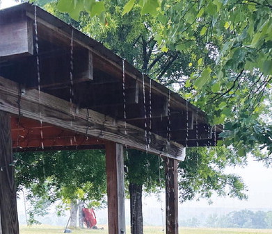
A thunderstorm rolled through Baldwin County on Tuesday morning, bringing with it the first measurable amount of rainfall since the first week of April.
Indeed, April has been abnormally dry in Georgia, but the lack of rain actually dates back to the middle of March. The Cooperative Extension weather station in Tennille, which is the most proximate to Milledgeville, recorded “0.00” inches of rain for each of the final 15 days of March. It then rained .01 inches on April 1, which was followed by .09 on April 3 and .4 on April 5.
In other words, Tuesday marked only the second time since the middle of March that more than one-tenth-of-an-inch of rain was recorded in this part of Georgia.
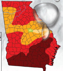
The United States Drought Monitor map, which is a collaboration between different federal government agencies and different academic institutions, has four levels of drought – D0 through D4. In the most recent map, parts of Baldwin County were D1, which is “moderate drought, while other parts were D2, which is “severe drought.” However, the more foreboding shades on the drought map – bright red and burgundy – gradually had been creeping closer to Baldwin County. Parts of Monroe County, two counties over and due west from Baldwin, was shaded red and listed as D3 or “extreme drought” in the most recent Drought Monitor map.
In terms of the burgandy-shaded D4 “exceptional drought” category, the most proximate counties to Baldwin were Wheeler and Treutlen, located roughly 75 miles away to the southeast.
The skies opened up on Tuesday morning, bringing some muchneeded rain to Baldwin County.
CHRISTIAN McKEARNEY Staff